

Water · Drip, sprinkler and centre pivot irrigation
Water stress: where your irrigation falls short
The irrigation schedule says all is well, but the plant does not always agree. We fly in the hot hours and tell you which zones are thirsty.
We have not flown this problem ourselves yet. We work it out with you, on your field.
The problem
You apply the same water, but it does not arrive evenly
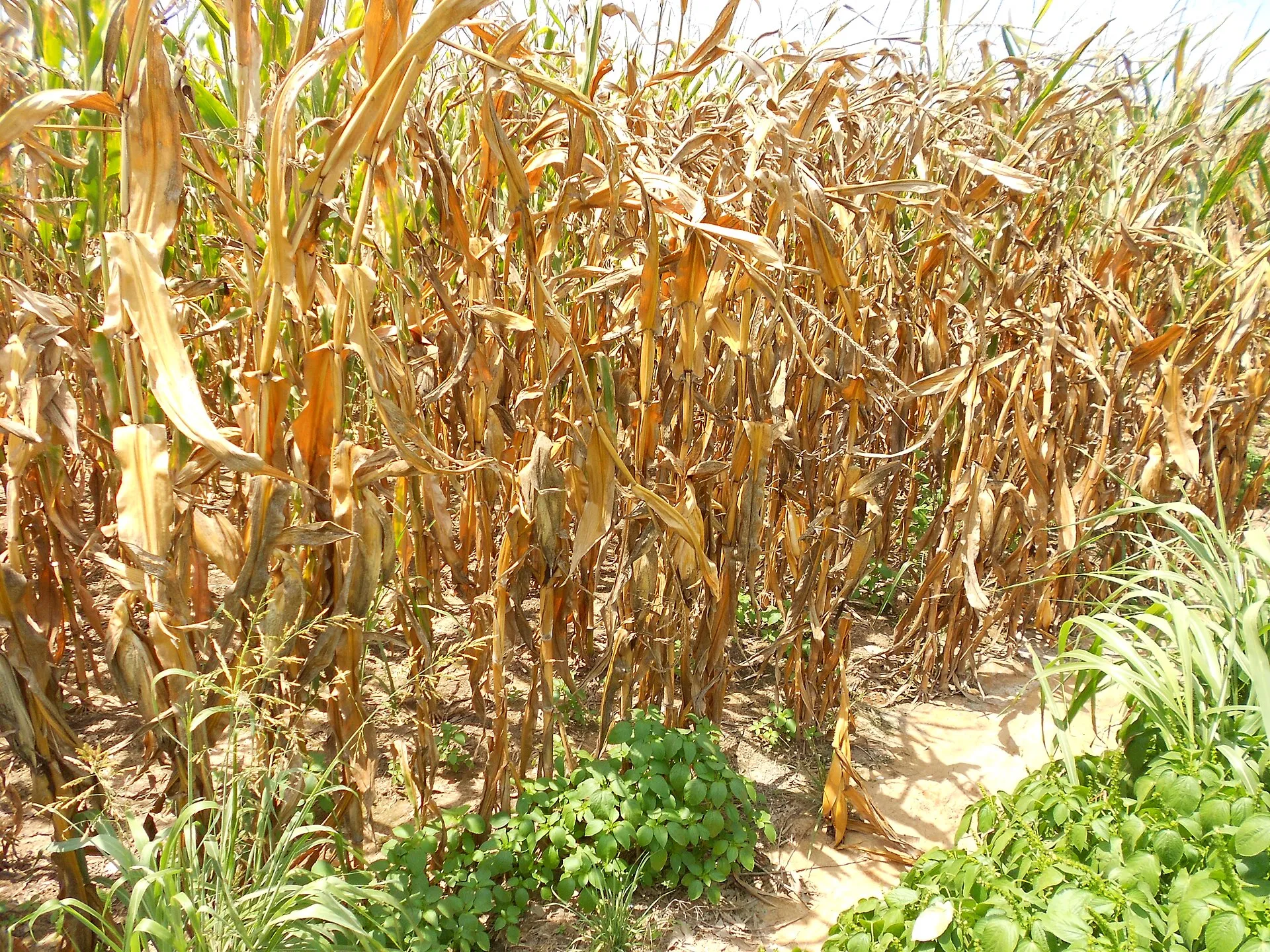
A thirsty plant folds or rolls its leaves, turns a dull green and grows less. In fruit trees, depending on the stage, fruit size drops; in vegetables, flowers and fruit can drop.
Water is almost never short across the whole field: it is a block, a pipe, clogged emitters at the end of the row, a pivot overlap or a patch of light soil that fails. A probe measures one point; the map sees the whole field.
How it works
A flight in the hot hours
1
We fly around midday
In sun and without strong wind, when the thirsty plant stands out from the one that is doing well.
2
We send you the map
Thirsty zones, rows or blocks, with their position.
3
You fix the irrigation
You check emitters, pressures or nozzles only where needed, and adjust the block.
In rainfed crops, the map marks the shallow-soil zones that dry out first every year: fertiliser pays less there and should be adjusted.
Where it shows up
In irrigated and rainfed crops
- Maize (corn)
- Grapevine
- Olive
- Almond
- Pistachio
- Walnut
- Apple
- Peach
- Cherry
- Citrus
- Tomato for processing
- Pepper
- Lettuce
- Broccoli
- Onion
- Garlic
- Artichoke
- Asparagus
- Strawberry
- Blueberry
- Alfalfa
- Sugar beet
- Bean
- Cotton
What farmers ask us
Irrigation: field questions
I already have soil moisture probes. What is the drone for?
The probe tells you what happens at its point. The map tells you what happens everywhere else: the row with clogged emitters or the block that gets too little.
And in vines?
In vines the map helps you spot the zones that suffer and, if you wish, manage or harvest each zone separately. Where irrigation of vines is restricted, it shows which zones suffer most.
With restricted water, is it useful?
Especially then. If there is not enough water for everything, the map says which zones suffer most and where to give water priority.
Know someone this would help?
Send them this page. If they have water stress in their fields, you save them some searching.