

Drone crop scouting
Drone crop scouting: see your field up close
Satellite shows you where the crop is struggling. We tell you what is causing it.
We do not spray and we do not sell drones: we fly, we map and we tell you what we found.
We do not fly in the UK or the US yet. Write to us and we will tell you how we can work on your farm.
The difference
A colour map does not tell you what to do
The usual way
The cameras most used in farming measure vigour: they colour the field by where the crop is doing worse. And that is where they stop. You know where there is a problem, but not which one.
Our way
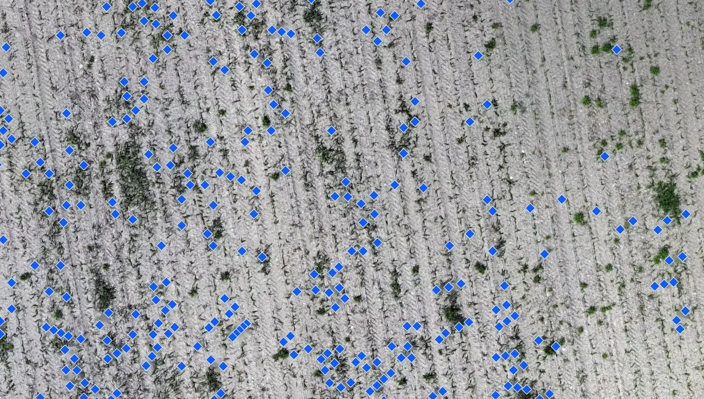
Our remote sensing uses images sharp enough to see every square centimetre of your crop. So you knowwhich weed you have, and where. For diseases and other problems, we start from the cases already proven and develop the rest with you.
What can be seen
What we detect today, down to the leaf
This is not a catalogue of promises: it is what has already been done in the field.
Missed tassels
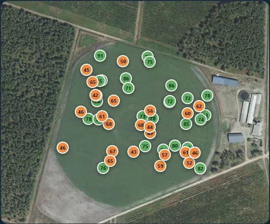
In seed corn. Every tassel left standing, with its position and photo, so the walk-through crew goes straight to it.
Thorn apple (jimsonweed)
A toxic plant. EU rules limit alkaloids in grain, and a patch that goes unnoticed can put the whole lot at risk.
Johnsongrass
Patch by patch, with the map so the sprayer treats only there and not the whole field.
Missing trees
In olive and almond orchards. How many trees are alive, how many are dead and where the gaps are, without walking the rows.
Maize (corn)
Thorn apple in maize cannot be seen from the field edge
Once the maize canopy closes, a patch of thorn apple stays hidden until harvest. The problem is not agronomic: it is a toxic plant, and grain has a legal limit for alkaloids.
From above, before the canopy closes, you can see it. Afterwards, you cannot.
- When we fly
- Between the six- and ten-leaf stages (V6 to V10), while there is still time to spray or pull by hand.
- What we deliver
- The exact location of each patch and the hectares (acres) they cover.
- What it is for
- A targeted pass: for example, treating only the patch instead of forty hectares (99 acres).
What we can develop with you
Patch spraying, crop by crop
Where weeds grow in patches, spraying the whole field means paying to treat what is clean. The drone shows where each patch is, and the map goes to the sprayer so it treats only there.
In maize we already do it. For the rest, we work it out with you, on your field, starting with the five free hectares (12 acres).
Maize (corn)
Johnsongrass and thorn apple (jimsonweed)
Fixed, clearly visible patches. Thorn apple also puts the grain lot at risk.
Already done
Wheat
Wild oat, brome and poppy
They grow in patches, so you only treat where they are.
With you
Barley
Wild oat, ryegrass and poppy
Patches you can see from above: treat only where they are.
With you
Sunflower
Fat hen (lambsquarters), pigweed, cocklebur, thorn apple and johnsongrass
Fixed patches that come back in the same place.
With you
Sugar beet
Fat hen (lambsquarters), pigweed and mustard
Several herbicide passes: treating only the patches saves on each one.
With you
Asparagus
Johnsongrass, couch grass (quackgrass) and field bindweed
Weeds that return to the same spot every year, in a crop that lasts over ten.
With you
How it works
Three steps, and you do not need to be there
1
Flight
Half a day with the drone. You do not need to be on the farm.
2
Analysis
The images are processed and everything that shows up is marked one by one.
3
Delivery
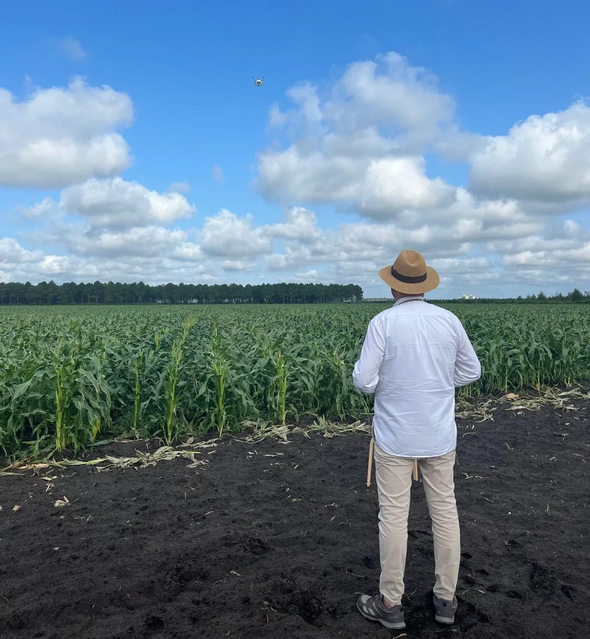
Map and report by email, in English, with the zones marked and the area of each.
Where we fly. We fly from Pamplona, Spain. In the UK the aviation authority does not recognise foreign registrations, and in the US you need a local licence. So we do not fly there yet. Write to us and we will tell you how we can work on your farm.
Free of charge
Before you order a flight, look at one
We start with a small piece of your field, not the whole farm. If what you see is useful, we carry on.
Launch offer
Five hectares (12 acres), free
We fly a sample of your field and give you the full result: the map with what showed up, and the photos. Free within 100 km (62 miles) by road of Pamplona; beyond that, you only pay the travel, at €0.40 per km round trip. Once per client.
Then, if you like what you see
The whole field
The full flight, with a quote. You decide after seeing the first one, not before.
You can order the flight on its own: no need to order the soil analysis. Already have a soil test? Its diagnosis is also free the first time, and it works anywhere because we do it remotely. How it works. Prices are on the Pricing page.